La Palma Volcano Damages More Than 1000 Homes, Lava Covers 709 Hectares
La Palma Volcano Damages More Than 1000 Homes, Lava Covers 709 Hectares
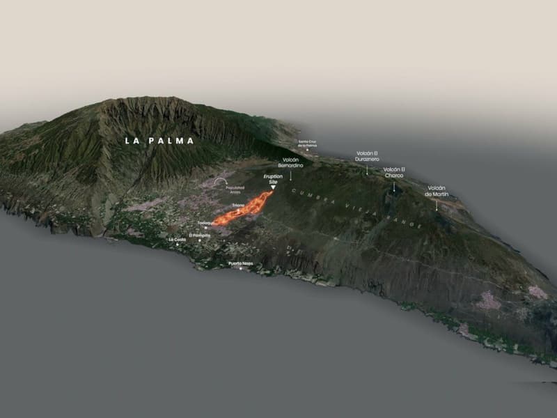
Key Figures
The volcanic eruption on La Palma, which began on September 19, 2021, has caused significant damage. According to data from the European satellite monitoring system Copernicus, as of Friday morning, October 1, 2021:
- 709 hectares covered by lava, including areas reclaimed from the sea since September 28
- 1,005 buildings affected
- 870 residential homes destroyed
- 30.2 kilometers of roads covered by lava (27.7 km completely destroyed)
- 3,172.9 hectares covered with volcanic ash
New Lava Flow
Scientists monitoring the island have recorded an additional lava flow emerging from a secondary cone and moving toward the sea parallel to the main flow. Luca D’Auria, director of the volcanic monitoring department at Involcan (Volcanological Institute of the Canary Islands), noted that while this flow appears less intense, it affects areas that lava had not previously touched. He emphasized that the behavior of lava flows largely depends on temperature fluctuations and cooling patterns: “flow superposition, breakouts” and directional changes are possible. D’Auria indicated that the situation represents continuous evolution that cannot be predicted in the short or medium term without constant aerial monitoring.
Lava Flow Map
The map displays current lava flows that continue to remain active and slowly advance toward the coast. Each red dot indicates a destroyed or damaged building.